Specialized Services & Equipment - Earth
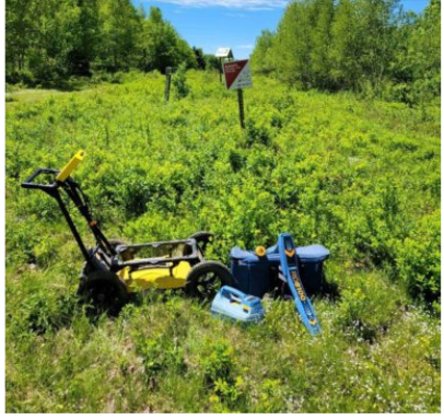
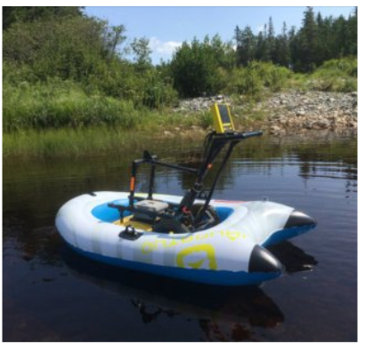
Ground Penetrating Radar (GPR) is capable of non-destructive testing, underground mapping of buried features, underground buried infrastructure locating and subsurface imaging of geological features.
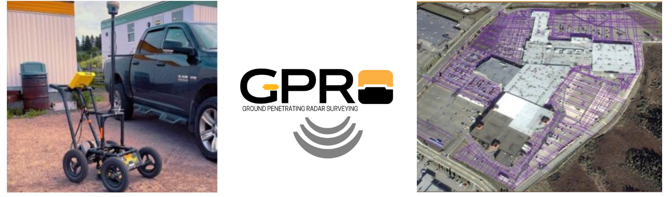
All GPR surveys are recorded in Real World Coordinates using our High Precision GPS unit. Using GPR and GPS allows for coordinates and elevations to be associated with found buried objects. GPR and GPS data is then combined to generate site plans with grid lines and Field notes.
COLLECTED DATA OUTPUT:
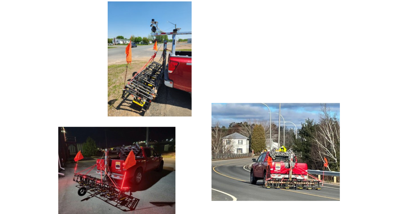
Our GPR Array unit is comprised of 6 x 1000mhz antennas which are truck mounted and geolocated with GPS. No traffic control or lane closures required and if the location is drivable, we can inspect there. The Array offers the same great quality, same high precision geotagged data, just a lot less walking back and forth.
| |
GPR Array - Why use just one unit when you can use six?
Day or night, anytime.
| |
APPLICATIONS:
- UTILITY LOCATES & MAPPING
- GEOTECHNICAL / GEOLOGICAL SUBSURFACE SURVEYS
- CONCRETE & REBAR
- SCANNING PAVEMENT
- STRUCTURE ASSESSMENTS
- UNDERGROUND TANK LOCATE
- SUBSURFACE ANOMALIES AND VOID LOCATES
- CEMETERY MAPPING
- FORENSIC SITE INVESTIGATION
We can help you see what's hidden beneath your feet.