Specialized Services & Equipment - Air
Unmanned Aerial Vehicles (UAVs) are capable of completing surveys in a fraction of the time when compared to traditional GPS surveys.
In addition to being faster, exponentially more data can be collected.
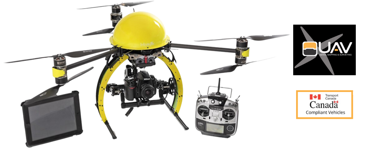
UAVs are a cost effective and efficient way to obtain high quality data in a relatively short period of time. We are capable of surveying 0.26 sq.km per flight with sub-centimetre precision when using ground control points.
LAYERS OF COLLECTED DATA FROM A SINGLE FLIGHT:
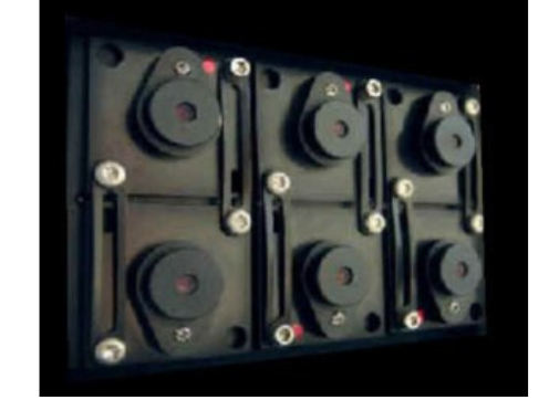
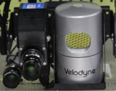
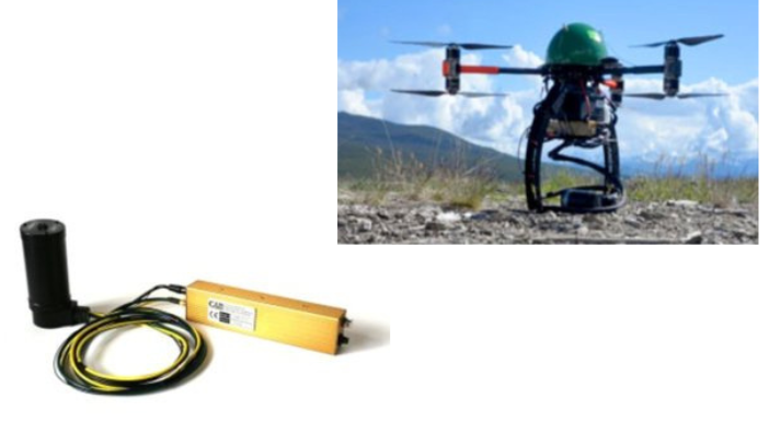
Our crafts can be outfitted with various types of equipment to detect,
asses and monitor a limitless number of applications.
| |

| |
Save Time
Save Budgets
Improve Safety
Improve Quality
Increase Reliability.
| |
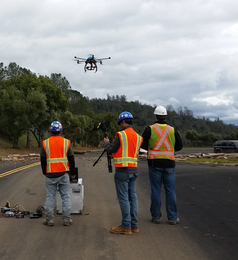
Our UAVs are able to safely, quickly and efficiently map, photograph and inspect your project. We are able to get angles and perspectives not normally possible, all while collecting high resolution images as records.
APPLICATIONS:
If you have something in mind, chances are it can be done.