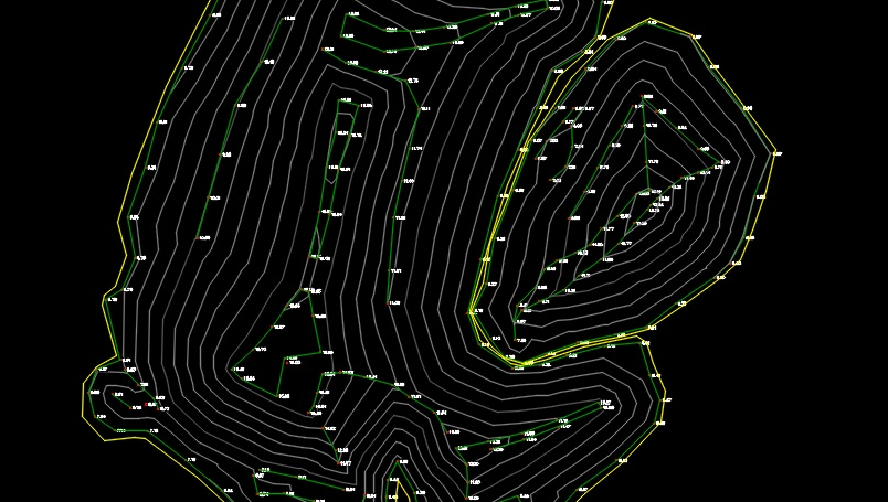
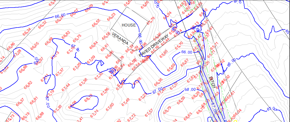
Topographic & Volumetric Surveys
topographic survey
A topographic survey shows natural and man-made features on a parcel of land, horizontal locations and vertical elevations at predefined intervals, grade changes, above ground features, and existing structures. The survey is generally used for graphically depicting the surface.
| |
volumetric survey
A volumetric Survey is used to determine the volume of material between two surfaces. It is used to determine how much material is stored in a stock pile or how much material must be removed or placed to modify a natural surface to a designed surface.